Monday August 21st, 2017
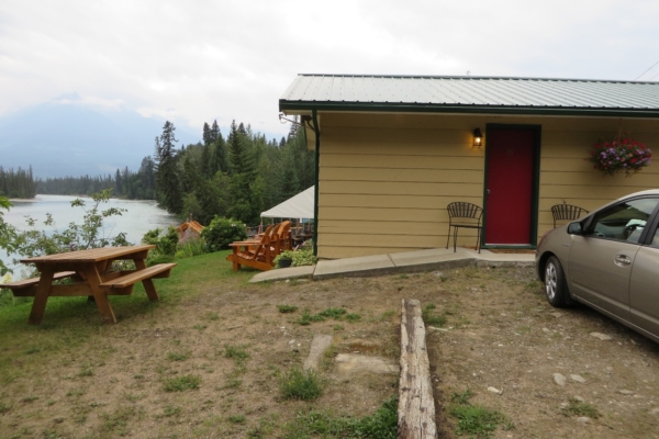
We drove out from Calgary to Robson Provincial Park in British Columbia on August 20th, registered with the park office and received their educational session. Then we checked into our motel, Tete Jaune Lodge. This was a very nice motel directly on the shores of the Fraser River in the quaint little town of Tete Jaune Cache near Valemount.
This town with the name of “Yellow head” in French, has an interesting history. It was named after a Métis fur trader and trapper, Pierre Bostonais. He worked as a guide for the Hudson’s Bay Company in the 1800s, and was nicknamed Tête Jaune by the French voyageurs because of his blonde hair. Tete Jaune Cache has two other claims to fame. First, it was a great source for mica when sheets of this transparent heat resistant substance were used in lanterns and stoves. Secondly, the area was witness to one of the many episodes of unfair treatment of the aboriginals by the governments of the white settlers. In August of 1916, the Simpcw people of the Tête Jaune Cache area were forcibly relocated out of the area to Chu Chua and other places. The people were made to travel the 300 kilometres on foot.
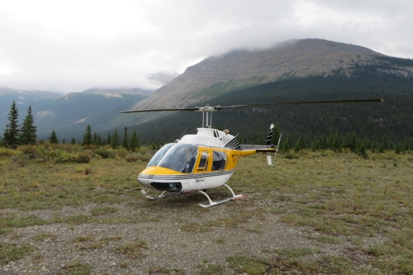
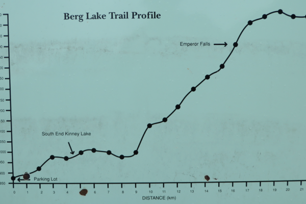
On the morning of the 21st, we started out on our Mount Robson adventure. This 6 day back packing trip would start out somewhat differently than most of our hiking adventures. We would be taking a helicopter into the Berg Lake area on Mount Robson, rather than carrying our packs up the 21 kilometer trail to Berg Lake Campground. This trail had an elevation gain of 786 meters, and would likely have required two days of hard uphill hiking. Instead, we would be flying to Berg Lake in just a few minutes. Later on the way down, however, we would see the entire Berg Lake Trail
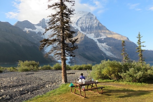
In truth, it took us longer than just a few minutes, as there seemed to be interminable waiting at the helicopter launch area. Everyone was asked to come at the same time, and we were on the fourth flight. However, by noon Yellow Head Helicopters had us up in the high country. We were dropped off not far from the Robson Pass Campground, and then walked with our packs several kilometers to the Berg Lake Campground where we picked a tent site and set up camp. Then we had lunch on the picnic table on the shores of Berg Lake.
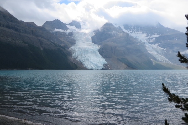
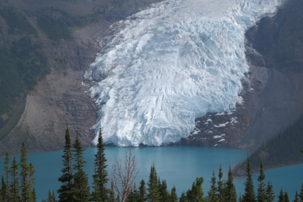
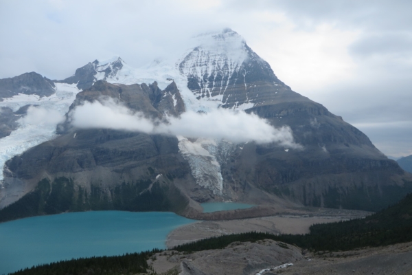
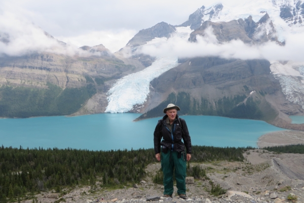
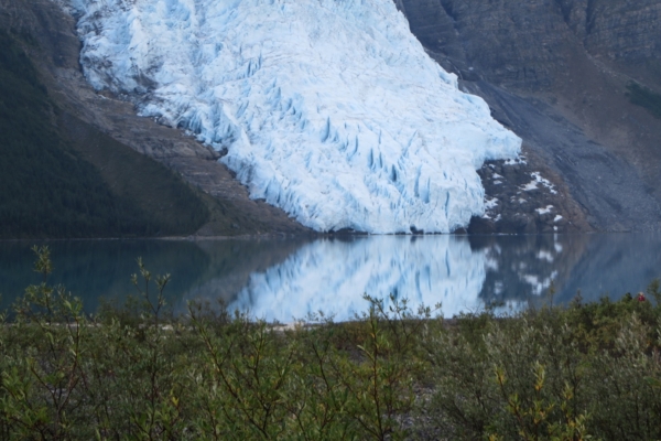
As we walked to the Berg Lake campground with our packs, we were impressed with our first views of Berg Lake, and the Berg and Mist Glaciers. The weather was cloudy and unstable, but the views were still impressive, and we were looking forward to seeing more of the area.
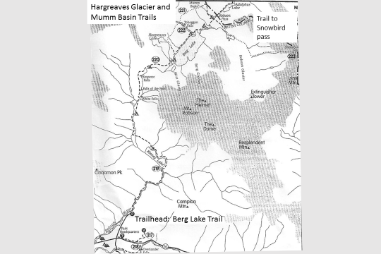
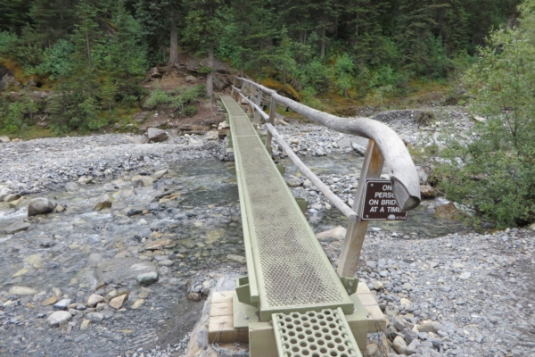
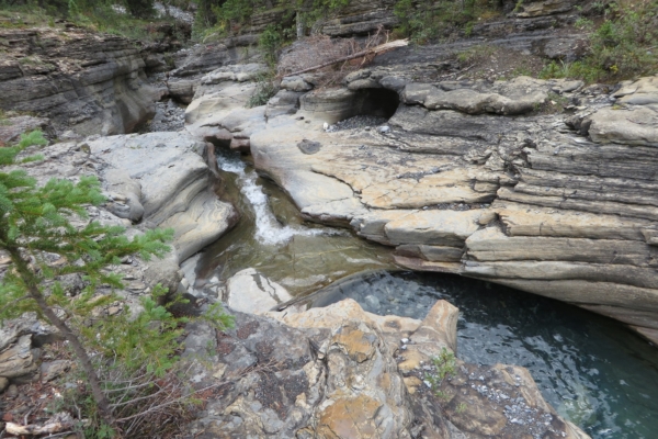
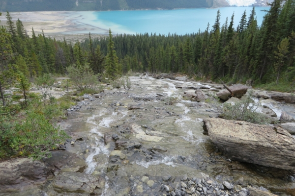
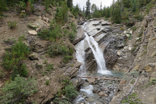
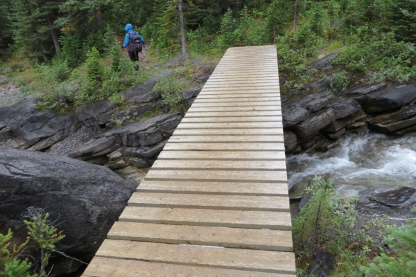
After lunch, we set out on the Tobaggan Falls – Hargreaves Glacier hike. It was a relatively short loop of six kilometers, and we thought it would nicely fill our needs for an afternoon hike. We crossed Tobaggan creek on a peculiar one-man bridge in the middle of the campground, and turned left to ascend alongside the Creek. As we ascended through the forest, we were rewarded with the tremendous variety that Toboggan creek had to offer, including deeply cut channels in the solid rock, and many different types of waterfalls and rapids.
After leaving Toboggan Creek, we walked on the mountainside high above Berg Lake. It rained from time to time, and we had to keep our wet jackets and pants on. Nevertheless, there were many breath-taking views of Berg Lake far below.
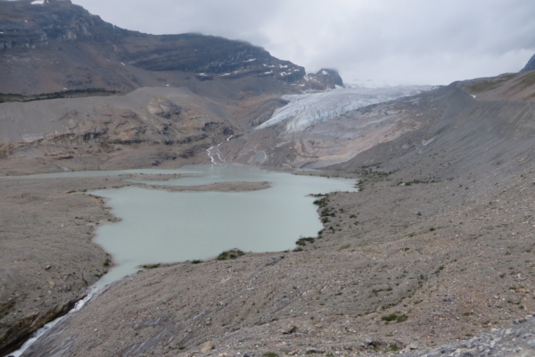
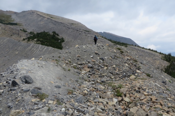
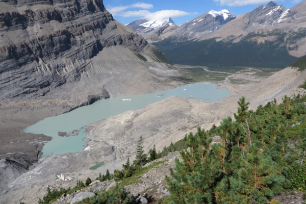
Eventually we left the forest and started to climb up the high gravelly moraines of the Hargreaves Glacier. This had obviously once been a mighty glacier. Today, what we could see of it seemed much reduced. It was still an interesting sight, however, with the lake at its toe.
The trail took us high on the moraine of the Hargreave Glacier. The views were magnificent in all directions despite the cloudy weather. We had good views across Berg Lake of the Mist Glacier. This glaicer ended just above a small lake which was separate from Berg Lake and hidden behind a high terminal moraine. From this high elevation we could see it well. It was nestled between two high lateral moraines which sloped down from Mount Robson, and confined in front by the terminal moraine of what had once been a much mightier Mist Glacier.
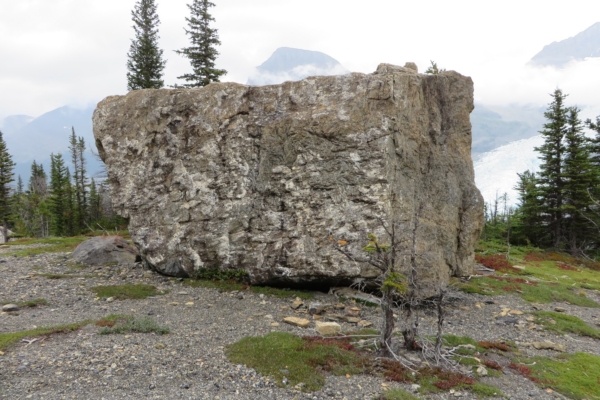
We slowly made our way down the moraines of the Hargreaves Glacier, entered the forest once more, and returned to the shore of Berg Lake. On the way down, we passed a huge isolated square boulder which was sitting on a gravelly base. Presumably the Hargreaves Glacier had carried it and deposited it there upon melting.
Despite the less than ideal weather, it had been a good afternoon. On arrival at the Berg Campground, we gathered our food from the metal bear-proof locker, and retreated to the Hargreaves Shelter to make our dinner. Then it was time to get into our sleeping bags for our first night on the shores of Berg Lake.
Tuesday, April 22nd, 2017
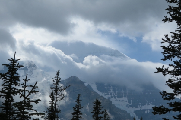
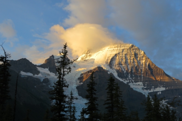
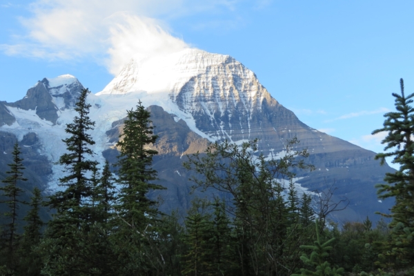
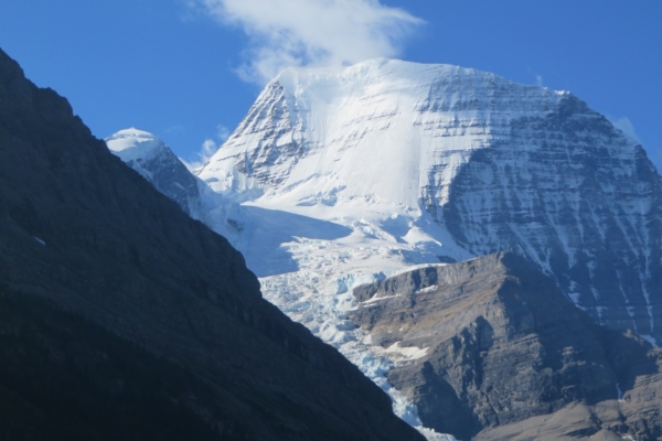
Our morning began with spectacular views of Mount Robson. To our delight, the clouds had cooperated to largely uncover the top of this massive and majestic mountain. The early morning sun was bathing the snowy peak and the remaining small cloud bank on its peak in a golden glow.
We had marvellous views of Berg Lake and Berg Glacier during our early breakfast at the picnic table in from of the shelter at Berg Lake. We had a long hike planned for the day, and by 9:30 AM we were on our way to Snowbird Pass. It would be a 22 kilometer round trip, with an elevation gain of over 780 meters. We were not at all sure that we could reach the pass, but it would no doubt be a marvellous day even if we did not make it all the way.
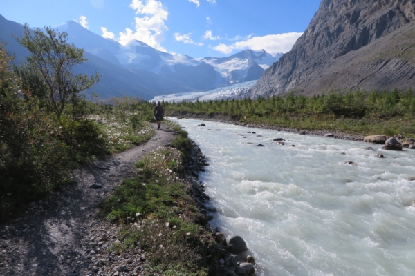
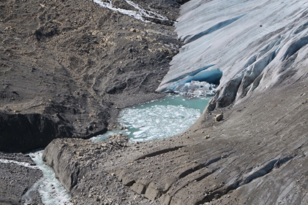
We passed the end of Berg Lake and proceeded upstream along the tumultuous Robson River. The Robson Glacier was obviously melting significantly, as the river was carrying a lot of water. This was driven home to us by a sign beside the trail which indicated the toe of the Robson Glacier had been at this spot in 1911. There was no ice there now, and the glacier was hardly to be seen from that point. It is apparently receding at a rate of 52 meters per year.
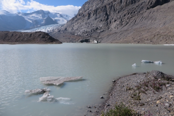
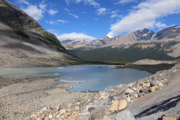
After the sign, we walked further along the river, and then passed a large lake at the toe of the glacier before reaching the glacier itself. The lake was at least 1.5 kilometers long, and studded with small ice floes.
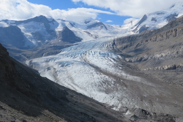
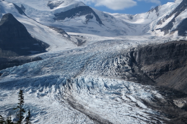
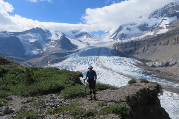
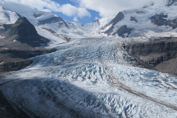
When we finally reached it and looked beyond its debris-covered toe, Robson Glacier was still an impressive sight as it marched up the mountain with its crenulated surface and deep crevasses.
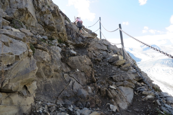
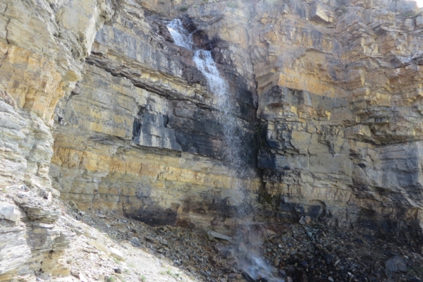
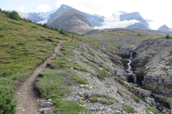
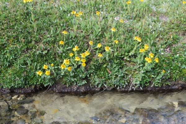
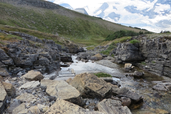
In large measure, our trail ran high above the glacier on the huge lateral moraine. Beyond a beautiful waterfall, the trail turned steeply upward, and we entered a large green alpine meadow. As we gradually ascended further, a fast moving stream was often at our side, and eventually we stopped and had lunch on its flower-studded shore.
My hiking partner felt it might be time to turn around, but after some discussion we decided to carry on, at least for a short while. In the end, we were glad we did. The weather was beautiful and the alpine meadows simply enchanting. Although still far away, Snowbird Pass still beckoned.

