Kootenay Park – Part 5
Kootenay National Park: Helmet Falls to Floe Lake
Friday July 28th, 2017
Today was going to be a big day, as we were going over the highest pass of our trip. It was only 10 kilometres to Floe Lake, but the elevation gain was 755 meters from Numa campground to the top of Numa Pass. Numa Pass would be the highest point of our trip, at 2,355 merers. Tumbling Pass was close, at 2,210 meters, although Rockwall Pass was even closer, at 2,240 meters. Luckily our packs were getting lighter, but today’s hike might still be a challenge.
I did have some concerns about my right hip. On the descent from Tumbling Pass through several kilometres of avalanche slopes, there were few good places to take a break, and my right hip had become quite sore during that descent. It seemed to recover overnight, and I hoped that I would not have any trouble today.
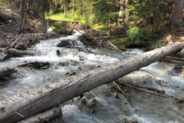
We got up half an hour earlier than usual, 5:30 AM, and correspondingly set a new record for getting on the trail, 8:30 AM. It was a wonderful cool morning. Soon we crossed a small stream over a wooden bridge, and then the trail went gradually but steadily uphill. After an hour and a half, we came to a much larger turbulent stream with a single-log bridge. On the far side, we had a long break which included a cliff bar and some water filtering to fill up my water bottle. After my strenuous uphill over Rockwall Pass, I was still travelling light as far as water was concerned and carrying the bare minimum to keep the weight down.
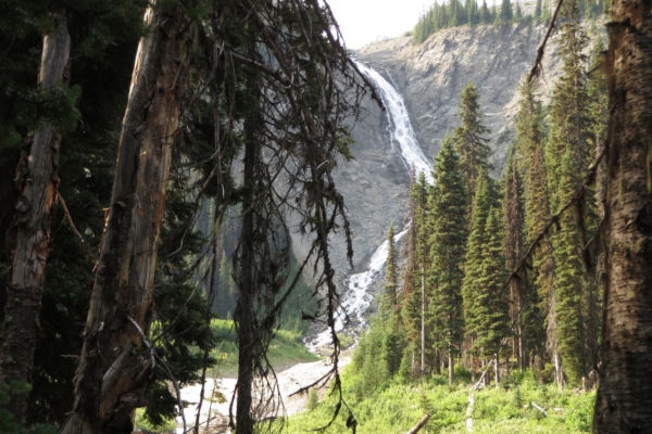
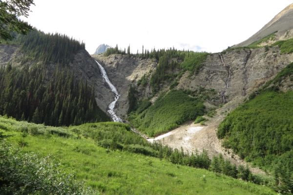
The stream had a large waterfall up the valley from the crossing which cascaded down the cliffs from the out-of-sight ice fields above. It was not as spectacular as Helmet Falls, but the next thing to it.
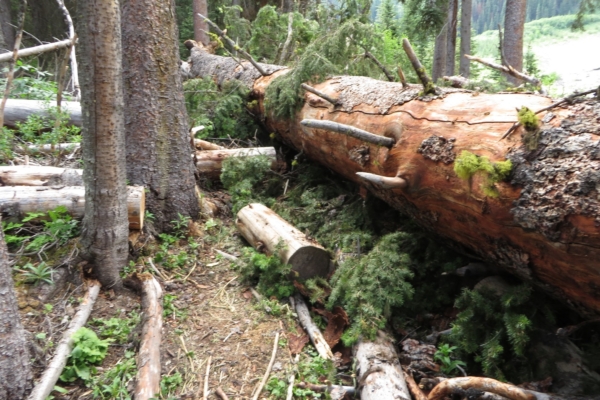
We were hardly back on the trail when we encountered the largest deadfall of the trip. Some of the trees near our nameless creek were huge, and one had come down on our trail sometime in the last 6 months. It took some maneuvering to get over. My wife eventually took her pack off, and I hauled it over the huge tree trunk from the other side.
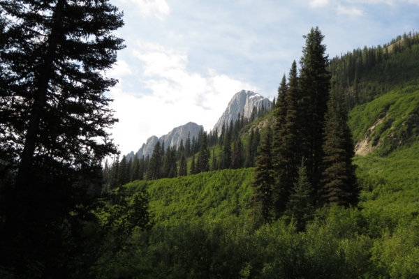
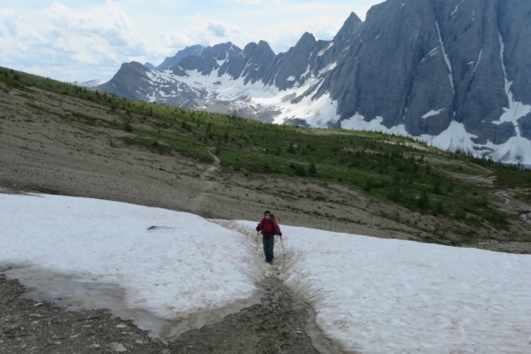
The trail continued to climb gradually through the spruce forest, and with time we crossed two smaller streams and a number of avalanche slopes. There had been no need to carry much water, at least up to this point. There was an area where we once again had to pick our way over snow and avalanche debris, but it was short.
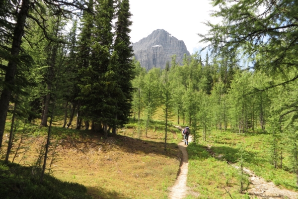
With our continued ascent we eventually entered the larch forests. Along the way, we met several children ages 6 to 8 who seemed to be doing just fine on the trail with their accompanying adults. We did see one father whose pack could only be described as a skyscraper, no doubt filled with family gear.
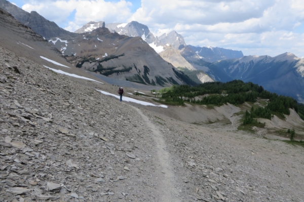
Our trail became steeper, and the views ever more spectacular. High in the larch forest we came to a small stream abut one and a half kilometres below the summit of the pass. This was noteworthy, as I had asked several people back at Numa campground about water sources between Floe Lake and Numa. My desire was to keep water carrying to a minimum. One woman had assured that there was no water beyond the large stream with the waterfall and single-log crossing. A man had told me that there were in addition the two streams in the avalanche slopes that we had crossed. Now I was seeing our 5th stream since leaving Numa campground, and this one not far from the summit. Later I would also see a small stream just beyond the summit on the Floe Lake side. It seems hard to get good information, and once again I had carried more weight in water than necessary over a high pass.
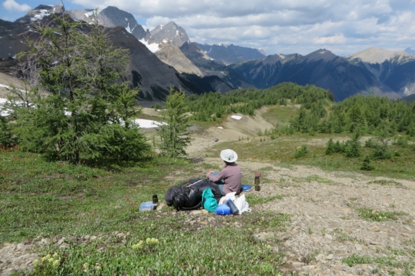
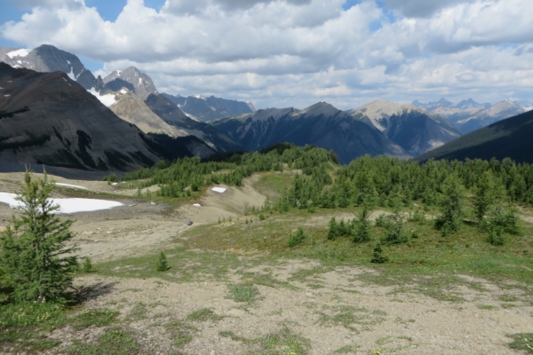
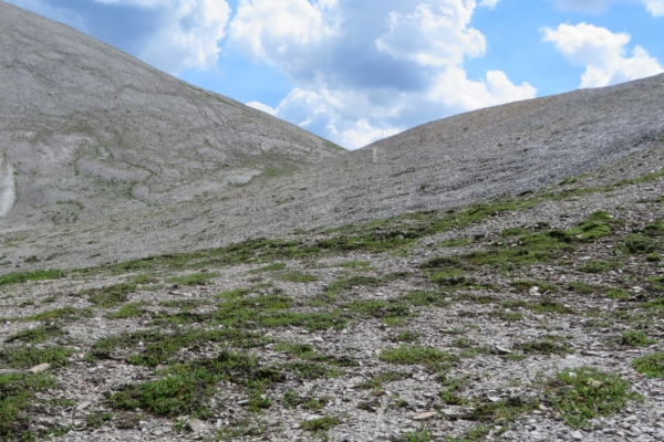
We had lunch on the edge of the sparse larch forest just before it gave way to gravelly rubble. A brisk cool wind kept the mosquitoes at bay, and we enjoyed the spectacular views.
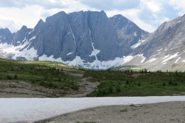
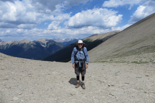
After lunch we soon came to the summit between two rocky shoulders. We had a break and took some pictures, but we did not tarry long as the wind was quite cold. We did stay long enough to admire our first views of Floe Lake. We had last seen this lake over 30 years ago. We began to descend, and soon we were back in the larch forests, but this time on the Floe Lake side.
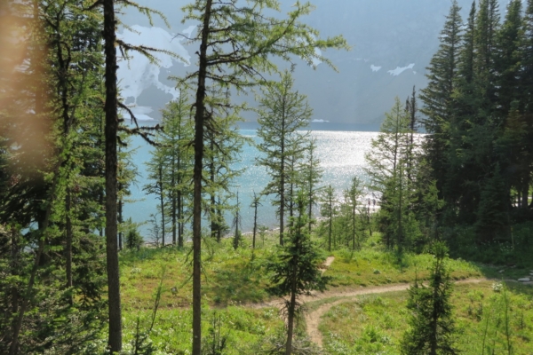
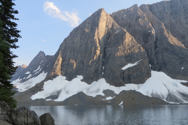
As we descended from Numa Pass, Floe Lake grew larger and larger. It seemed deceptively close; it still took us quite some time to reach it as it was 3 and a half kilometres from the summit. Throughout the descent through the larch forests and then later the spruce forests, we were treated to the most extraordinary flower display including yellow arnica and many colour varieties of Indian Paint Brush. We had been walking essentially through a flower garden for the entire previous four days, but the flowers on the slopes above Floe Lake outdid them all.
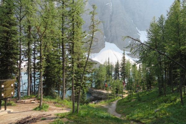
The campground at Floe Lake has only two lakeside campsites. Even though we were quite early and the campground was largely empty, these two sites were already taken. We took what was likely the third most desirable site. It was higher above the lake, but still had somewhat of a lake view. The other sites were further back in the forest.
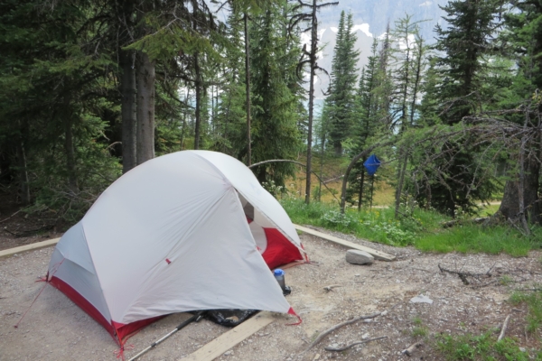
We set up our tent among the worst mosquitoes of our trip. Then we walked along the shoreline to where a stream came into the lake to filter water. The stream was very silty and must have come directly from a glacier. I was reluctant to filter the lake water as people were swimming in it. I filled our water bag below a small waterfall on the stream, and then we filtered and filled our water bottles on the veranda of the ranger station, which was at the moment unoccupied. After this, we went to have dinner, but even though it was only 5 PM, all the five tables on the Peninsula were taken. We went to the other eating area higher up the slope which had a magnificent view but also more bugs.
I mentioned to the lady at the next table that I had forgotten our insect repellant and that Ruth had a hard time with mosquitoes. She promptly gave us some to keep me out of trouble, for as she said, there had been times in the past when her husband had forgotten the insect repellant too. I guess on those occasions he was in trouble.
Tomorrow we would be packing out. Although there had been some clouds earlier in the day, the sky seemed completely clear now. It had been a very good day. Although my right hip had given me some concerns the day before, it did not bother me on our hike over Numa Pass, so perhaps the problem with it would be only temporary.
We decided on an early start the next day as there might be little shade on the way down. The trail back to the highway from Floe Lake crossed a large burned over area, and it was a south-facing slope.

